Breakthroughs.
Every day.
Let's get started.
Let's get started.
At Children's Hospital of Philadelphia, we're always learning, growing and exploring in our effort to deliver the highest quality, compassionate, family-centered care. Here's what's happening now.

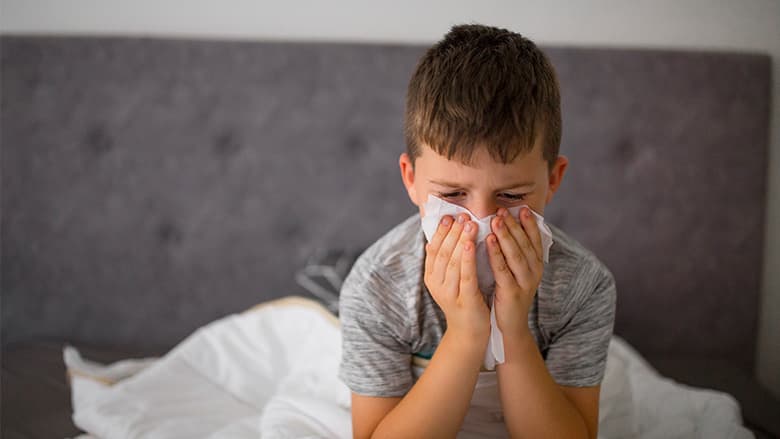
Cases of pertussis (whooping cough) are rising sharply across the country. Learn about symptoms, treatment and prevention of this highly contagious infection.

For the 17th straight year, we’ve been recognized as an elite pediatric hospital by U.S. News & World Report.

The Food and Drug Administration has approved the first two gene therapies for the treatment of sickle cell disease.

AmeriHealth Caritas PA and Keystone First contracts may end without a new contract, effective July 1, 2024.

Our Kidney Transplant Program recently achieved an important milestone: 500 kidney transplants!
The pros and cons of allowing your child to participate in youth football.
You could save a life by learning the warning signs of sudden cardiac arrest and how to take action.
The following information can help you determine the best place to seek care when your child is sick or injured.
Please read the visitor guidelines carefully before visiting any CHOP location. Thank you for helping keep our patients, families and staff safe.

From Lancaster County to the Jersey Shore, you'll find Children's Hospital pediatricians and specialists nearby.

Contact a Children's Hospital of Philadelphia Global Care Coordinator today.
+1-267-426-6298 or gps.chop.edu
CHOP never stops working towards breakthroughs and we need your ongoing support.